Beyond the Peaks: How America''s Highest Points Reveal Geological Wealth,
While a map of the highest points in each U.S. state showcases geographical

Beyond the Peaks: How America's Highest Points Reveal Geological Wealth, Tourism Economics, and Regional Identity

Figure: A stylized representation of the U.S. topographic divide, highlighting the concentration of extreme elevations in the West.
Introduction: More Than Just a Topographic Trivia List
A list of the highest natural point in each U.S. state is often treated as a collection of geographic trivia. However, this dataset, authoritatively compiled by the U.S. Geological Survey (USGS), reveals a coherent narrative that extends far beyond mere elevation figures (Source 1: [Primary Data]). The elevation of Denali in Alaska at 20,310 feet and the modest 345 feet of Britton Hill in Florida are not random outliers but endpoints on a spectrum defined by deep geological history. This analysis posits that state high point data serves as a foundational proxy for understanding regional development, resource distribution, and economic specialization. The collective pattern of these points—specifically the concentration of the ten highest summits in the Western United States—unlocks a logical sequence of cause and effect spanning millions of years to contemporary market dynamics.

The Geological Divide: Tectonic Youth vs. Ancient Erosion
The most salient pattern in the data is the absolute dominance of Western states among the nation’s highest elevations. The ten highest state summits are all located west of the Great Plains, a fact that is a direct consequence of plate tectonics (Source 1: [Primary Data]). This region sits at the active boundary between the Pacific and North American tectonic plates. Ongoing subduction and collision forces have created the young, rugged mountain ranges of the Rockies, Sierra Nevada, and Cascades within the last 100 million years—a recent timeframe in geological terms. Mount Whitney’s 14,505-foot prominence in California is a product of this ongoing tectonic activity (Source 1: [Primary Data]).
In stark contrast, the highest points in the Eastern and Midwestern states are the eroded remnants of ancient orogenies. Ranges like the Appalachians, which formed hundreds of millions of years ago, have been subjected to eons of weathering and erosion. Their once-sharp peaks have been reduced to the rounded, forested summits that now mark state high points, such as Mount Davis in Pennsylvania or Black Mountain in Kentucky. This geological foundation is the primary causal factor; it establishes the physical template upon which all subsequent human economic and cultural activity is built. The elevation differential is not an aesthetic detail but a determinant of mineral composition, climate, soil stability, and hydrological patterns.
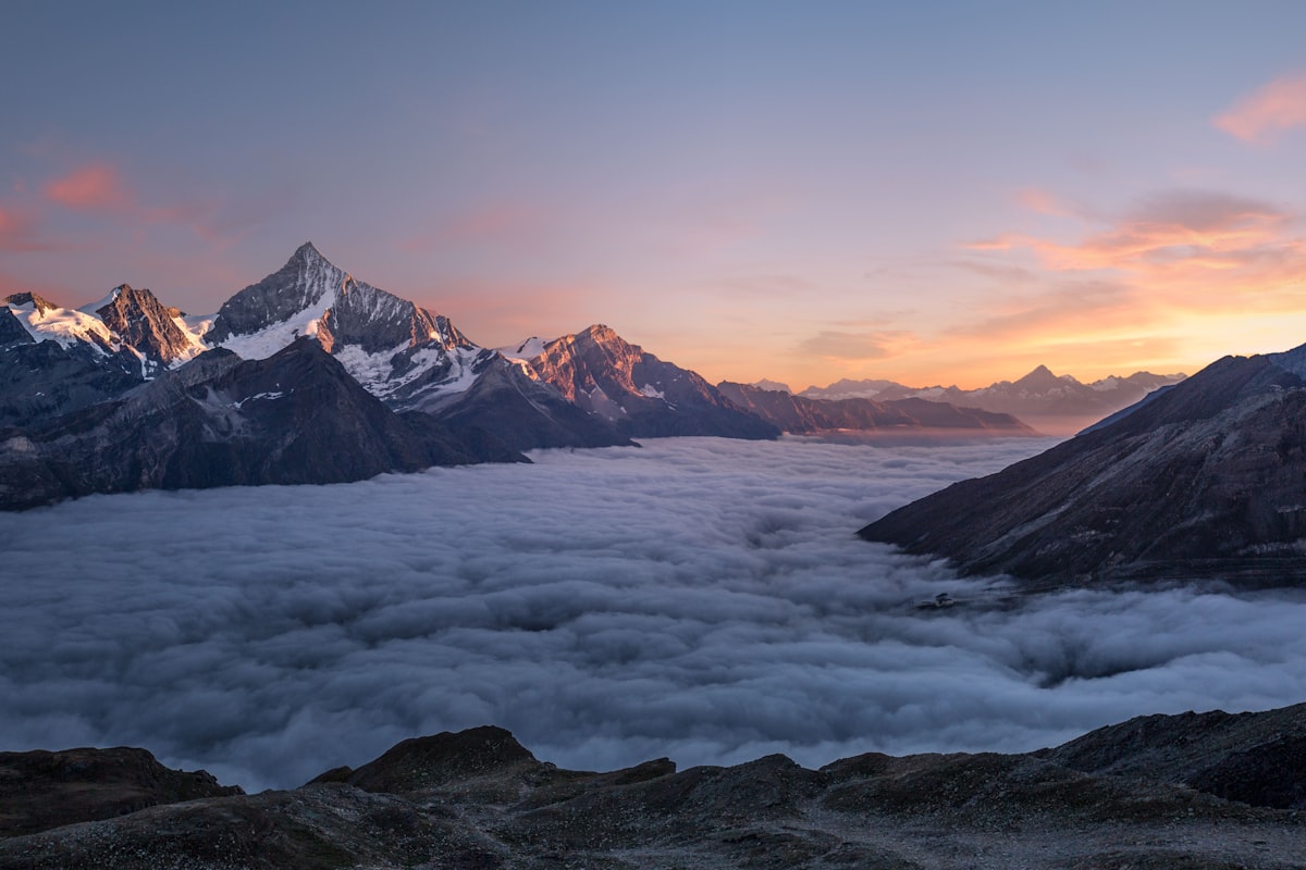
The Economics of Elevation: Tourism, Resources, and Land Value
The geological template dictates divergent economic pathways. High-elevation landscapes in the West function as integrated economic engines. Summits like Mount Rainier and Mount Whitney anchor multi-billion dollar ecosystems encompassing mountain towns, ski resorts, guiding services, outdoor retail, and hospitality. These are destinations that command premium real estate values and support specialized labor markets. The economic logic is one of attraction and experience-based revenue.
Conversely, the economy of a “low high point” follows a different model. States like Florida, Delaware, and Louisiana have monetized their accessible high points through state park designation, commemorative plaques, and novelty tourism. The value is generated not from technical challenge or dramatic vistas, but from the completion of a checklist—a geographically curious form of tourism that still generates park visitation and minor ancillary spending.
A third, historical economic layer is revealed in the correlation between high elevations and subsurface mineral wealth. The Colorado Mineral Belt, which contains most of that state’s famed “14ers” (peaks over 14,000 feet), was the site of 19th-century precious metal rushes that directly shaped settlement patterns and early capital formation. The mountain itself was the resource.

Cultural Identity and the Peak as Symbol
The role of a state’s highest point in its cultural identity varies inversely with its accessibility. For Western states, the dominant peak often serves as a central, iconic symbol. Denali is featured on Alaska’s license plates; Mount Hood is synonymous with Oregon; Pikes Peak’s silhouette defines Colorado Springs. The peak is a source of regional pride and a marker of a rugged, outdoor-oriented identity.
In states with less topographical drama, the high point may hold a more subdued, niche status. Iowa’s Hawkeye Point is a cultivated site on private farmland, reflecting a different relationship with the landscape—one of agrarian modification rather than wilderness conquest. This has given rise to the “highpointer” subculture, where individuals pursue the summit of all 50 state high points. This activity reflects a desire to engage with the full topographic and cultural spectrum of the country, from technical alpine climbs to walking to a benchmark in a suburban park.
These summits also become focal points for conservation conflicts, illustrating the tension between symbolic value and utility. The summit of Mauna Kea in Hawaii, at 13,803 feet above sea level, is considered sacred in Native Hawaiian culture while also hosting a world-renowned astronomical observatory complex (Source 1: [Primary Data]). The management of such spaces involves navigating competing claims of cultural preservation, scientific progress, and recreational access.
Conclusion: Predictive Patterns and Future Trajectories
The analysis of state high points reveals a deterministic chain: tectonic history creates topography, which dictates natural resource distribution and economic potential, which in turn influences cultural symbolism and land-use conflict. Future trends can be extrapolated from this model.
Regions with high-elevation public lands will continue to see economic pressure from the growing outdoor recreation industry, coupled with increasing strain on infrastructure and ecosystems from tourism. Climate change will act as a risk multiplier, affecting snowpack-dependent industries like skiing and altering the safety windows for alpine ascents. The market for guided experiences and permit systems for popular peaks is likely to become more formalized and competitive.
For states with lower high points, the trend will center on leveraging geographic novelty through enhanced digital storytelling and connectivity, potentially integrating these sites into larger regional tourism trails. The conservation debate will intensify for summits like Mauna Kea, where unique attributes create irreconcilable demands. The data suggests that a state’s highest point, whether a towering giant or a gentle hill, will remain a persistent lens through which to analyze its geological endowment, economic strategy, and evolving identity.